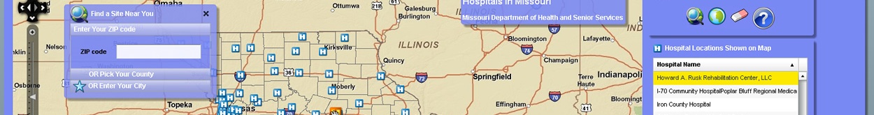
GIS Mapping Helps Citizens Find Health Services in Their Area
GIS mapping for the Department of Health and Senior Services is used effectively to show Missourians what health services are available in their area. GIS was originally used to generate paper maps and export basic PDFs. Like many other GIS shops, the original Internet maps were based on ESRIs product, ArcIMS. As ArcIMS became dated, the GIS staff started looking around for alternatives. When the FLEX API came available, it moved to the top of the list. (FLEX is an…